
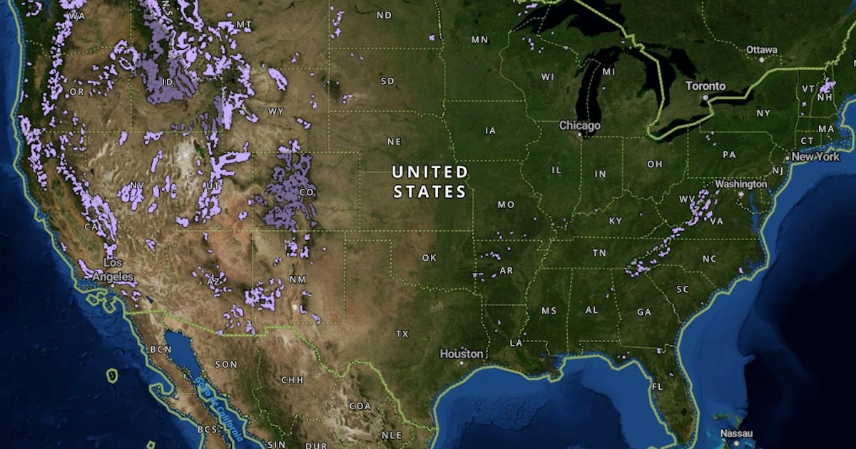
The Roadless Area Rule is back in the crosshairs, and public-land hunters ought to understand what is actually on the map before the comment periods and political noise get rolling.
The 2001 rule limits road building and logging on relatively undeveloped national forest land. Congress has been considering repeal efforts, an amendment has been tied to wildfire legislation, and USDA has started a process through the Forest Service to rescind the rule internally. That makes this more than an inside-baseball public lands fight.
onX released a report and free interactive map breaking down the lands affected by the rule. According to the report, roadless areas make up 27.7% of Forest Service land, but only 3.17% of wildfires start in those areas, while 90% of U.S. fires start within a half-mile of a road. That is important because wildfire prevention is one of the arguments being used for repeal.
The report also points to intact habitat and migration corridors for black bears, elk, and mule deer. And roadless does not mean nobody gets in. Existing motorized routes that were already allowed remain in place, including thousands of miles of full-size motorized trails and primitive roads, ATV and side-by-side trails, singletrack, and snowmobile trails.
Hunters do not have to oppose every road or every timber project to defend backcountry habitat. But once intact country is cut up, it usually does not go back to what it was. If USDA releases a draft environmental impact statement and opens public comment, hunters, anglers, and backcountry users need to show up with facts, not just slogans.
Source & further reading
MeatEaterRegulations and conditions change. Check current official guidance before you hunt, dive or travel.