
Archive note — published October 27, 2026 from an earlier prepared draft. The displayed date is the original source report date, not the date this page first went online. October 27 access check: MDC’s current area page says public access is limited to the boat ramp and the rest remains closed due to levee construction. Check https://mdc.mo.gov/discover-nature/places/columbia-bottom-conservation-area before visiting.
Anglers and boaters can again reach the Missouri River boat ramp at Columbia Bottom Conservation Area. The Missouri Department of Conservation announced September 30 that it had reopened the ramp road after working with the construction contractor to restore that route.
This is a limited reopening, not an all-clear for the whole property. Access to the rest of Columbia Bottom remains restricted while setback levee construction continues. The agency says access to the remaining portions will return when the work reaches an appropriate point; the announcement does not give a reopening date.
MDC is working with the U.S. Army Corps of Engineers on the project. New setback levees on the northwest and south sides of the conservation area are intended to protect its office, maintenance area and neighboring properties from flooding. Keeping the boat ramp road available during that work restores a useful river access point without opening the active construction area to visitors.
Columbia Bottom is off Riverview Drive, approximately three miles north of Interstate 270. Check the agency’s area page for current restrictions before heading out, and stay within the reopened route.
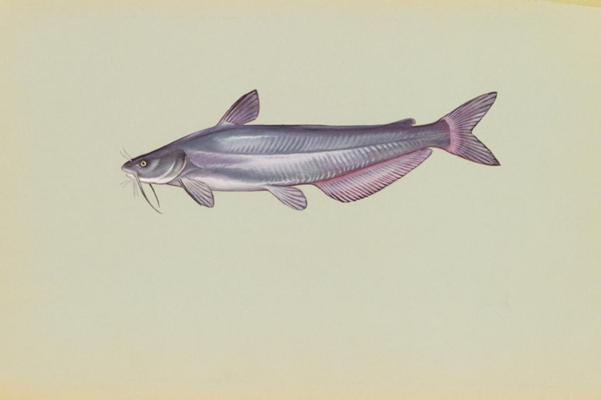
Illustrative image: Blue catfish artwork; credit: Raver, Duane. Public Domain, via the U.S. Fish and Wildlife Service (https://www.fws.gov/media/blue-catfish). This is a species illustration, not a photograph of the reported location, project or event.
Source & further reading
Missouri Department of ConservationRegulations and conditions change. Check current official guidance before you hunt, dive or travel.